trailtour

including Brightcalm Illustrations

-inc
Menu-

ComeClimbWithMe.


I am writing about endurance and the experience of hillwalking.

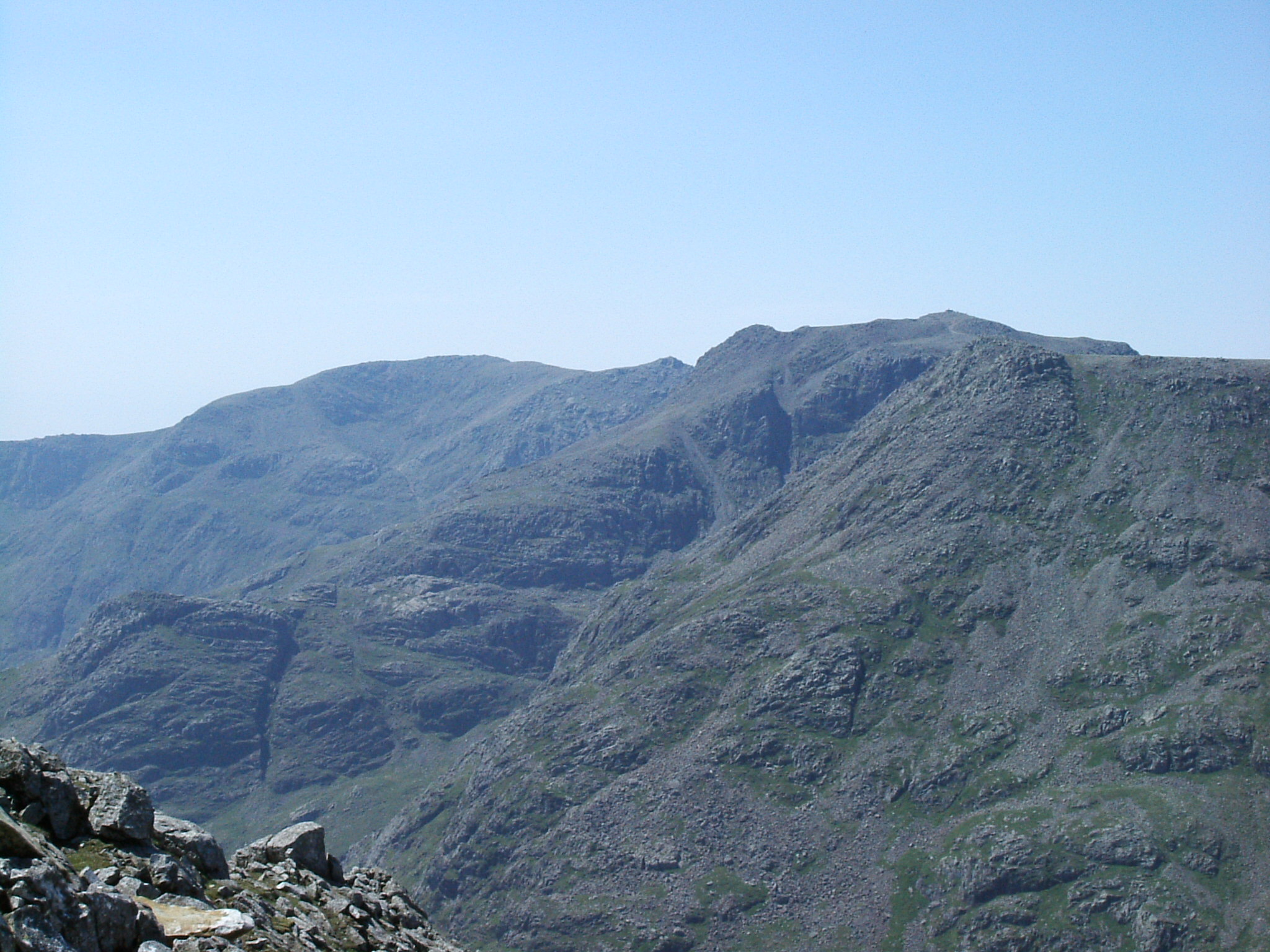
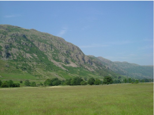
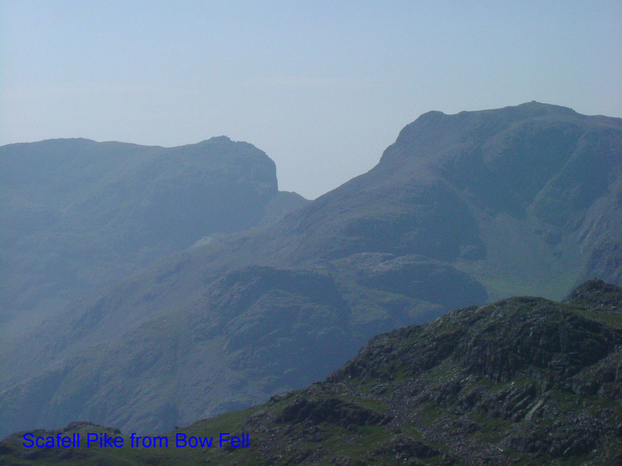
Years of searching out routes and using maps with paths indicated are super memories. As you start to use the map the day becomes planned and has the possibility to become a longer journey more frequently. If the days may blend from time to time photos and journals make a good reminder. The amount of memory I have for vists to the hills is improved by photos and pictures I have from the days and really stir inspiration later. At their longest in one year when based in Ullapool I completed a dozen 30 mile plus single day mountain trail walks. Sometimes the last miles were unexpectedly hard, a mixture of a version unplanned. But usually due to being circuitous the distance evolved with the day and how I felt in my control without excessive tiredness. In the hills to not return by the same route always offers the unexpected, it is a matter of what it is and cannot be changed except by experience. A map and being experienced simplify it adequately to ensure you always get home. They allow experimentation and venturing into harder terrain too which of course happens and is the greatest joy of a wild place.

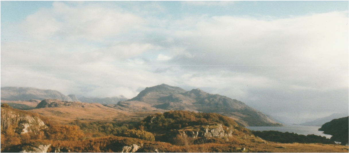
I had learned from the Mountain Leader scheme a habitual observation of the map. I learned also to train and practice, to maintain a respect for the skill as a passion best served by learning. The logbooks, records, articles, photographs and geography are a shelves full in many places I have visited (see the article verdon). I have contributed to my own association by photos and art and occasional writing out of numerous notes and half kept recordings of thoughts. These records are often too slim but are significantly extra to stir my memory. It seems the purpose and the memory are combined to me. There is natural exhuberance from wild days, but I really enjoy discrete memories having proper place and time with people. I think individually noting the location of a photo is helpful too especially as a tool as more things are useful then and certainly 2 hours searching numerous times for something is weeks.

A really significant amount of planning goes into an adventure walk and the memory gets deeper by the manner you put in the time, how close you hit your targets, the length the day, equipment needed or used properly. Prior knowledge, tips and expectations usually played a big part in my map-led or exploration walks. Without this preparation longer days could not happen and memories would not have such peaks of bliss. A map covers all of Britain, with it’s contours and features that leads the way to enabling this journey. Learning to use this script aids as a method of being confident. Nature will exist around you because you can find where you are in no hurry. The oddity of the need to fulfil daily tasks, not cancel or go home until you really have walked all the way back will be there as usual. It is expected to leave walking cards at special locations or with friends and family. Only what you can carry goes with you however and what gets you home is your increased fitness and skill with a map and a packed rucksack.

Hot Lake District
I mean even the girls were hot. Baked landscape of dramatic contrast still with obvious visible routes and features in the high sun. Carry water but it is generally safe to drink from the streams that feed the Tarns.(Probably always best to think twice about not boiling it)

comment

You have to cope frequently with the warm feeling that has not been in time for the pub, what seems like 9.30pm then passes 11pm and into the next morning is off the map of planning but not off the map of hillwalking. That is based on supplies of your own and your legs. How can you walk so far with a deadline rather than a destination to find things in the landscape? I bet that you cannot and this equation is part and parcel of planning. Is it 4 hours or 4 peaks? Is it pleasure or training and when is it important to be right. By being determined I have witness at the summit of Seana Braigh a double sunset in front whilst with clouds beneath. I would have suffered many times if I had lost the map and also the carefully remembered equipment for a bivvy. I then needed to go down into that wet cloud to walk home from Britains most remote Munro Munro (defined by furthest from a main road). The way up had been quite hard going and that for a walker currently capable of 40 mile days on demand. I decided on a different way down, not the most aethestic on a clear day for going up; decscend the broad slope. It was rocky and wet and dark and cloudy but I had a compass. It would be good.

Human signs are the links in a long walk but the gaps are so often measured in hours at least and create a large part of the pleasure. The longest walks become absorbing experiences with reference to the call of nature and the echo to the feet. A certain form of exhaustion is not in fact going to stop you but takes away soap and pressed or clean clothes, replaces them with sensations of heather and moss, dark and shining places, sounds that talk to the brain and stop the other jumble of thoughts.

To hang on and get home means to have some drinking water and never run out, to be able to slip in and out of spare clothes or improvised shelter. This versus being pulled in to the landscape completely which sometimes no amount of happiness or confidence can avoid. You cannot replace flesh and bone and ignore the wild countryside. The tools in the rucksack make me happy but serve as my limits of comfort too. It is best to enjoy the smell of peat and heather and the belts of countryside as they transform in passing as they are the best tools you have. They replace the clock and the heart and you may barely have your mind. As the town slips away nature to a certain degree is forming the next destination.

Welcome home sign.
This can just be familiar landmarks from another angle. The map would tell me the relief that was in front of me but the actual sight puts energy back and motivation in front. I had been climbing on Raven crags which are across from and above the campsite and here they were now at a distance but with a new meaning.

paddeded

Descending the peaceful side of Scafell to campsite.
I don't know the Lake District in much detail, but with a map and some reading a place like it is going to welcome you to make crossings that you will not forget.

Lordsrake

May you think this one is hotter? Anyhow great walking as you can see. Scarfell is the right skyline profile.

Lordsrake

The heavenly Little Loch Broom, with its 13 meandering mile entry road descent and on the left side where An Teallach climbs out. I made this journey 30 plus times by bike this far, but sometimes further and sometimes on foot making a good number of 40 mile walking days.

Little Loch Broom

The page background is An Teallach, Scottish Highlands, in a temperature inversion. 1999.